An easy walk in the forest of Fontainebleau
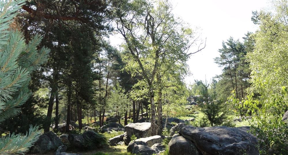
This beautiful walk (le sentier de l'érosion) winds its way through the rocky masses of the Apremont gorges. Departure is from the car park at Les Platières d'Apremont.
The forest of Fontainebleau is one of the most important French forests. The forest covers an area of 25,000 ha, of which 21,600 ha are now administered as state forest.
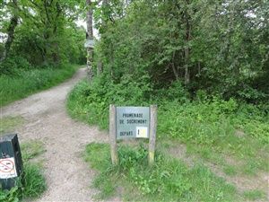
The forest is immense and the hardest thing is certainly to find the starting point of the walk because then the paths are marked out and it is enough to follow the arrows. Here the departure is located on the crossroads of the Gorges aux Néfliers. The carpark is located on a promontory and allows to have a pretty sight on the forest.
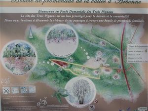
The walk indicated here is the easiest and the shortest from this starting point, there are others longer, just look at the signs on the car park. The walk is easy, but there are a few narrow passages among the rocks.
The comments
Inconnu08/13/2020 18:56:20
![]() very good
very good
c'est clair, bien expliqué, merci
Start of the erosion trail
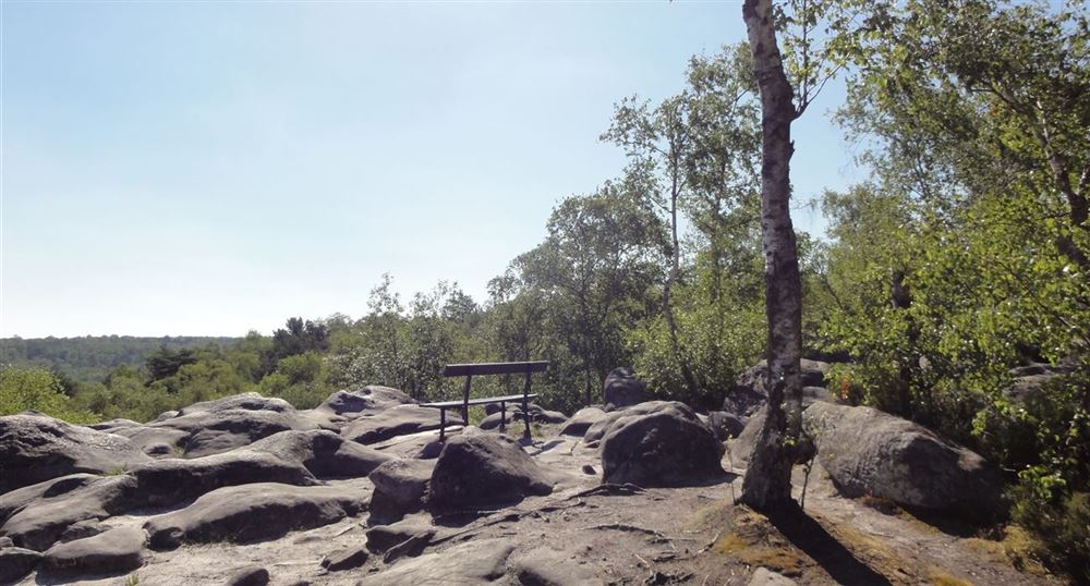
The forest
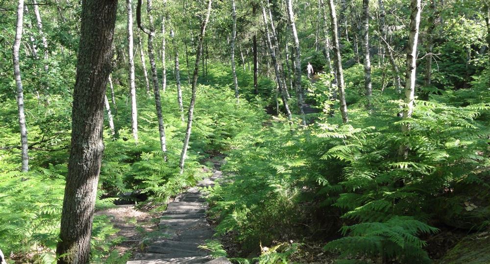
The rocks
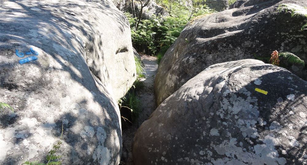
A narrow passage
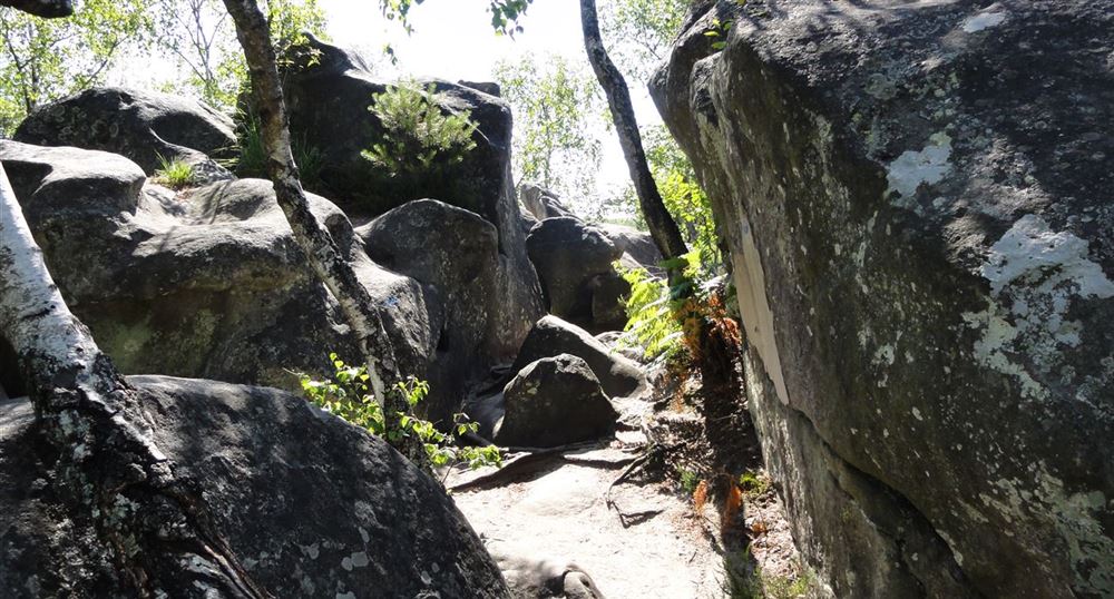
The work of erosion
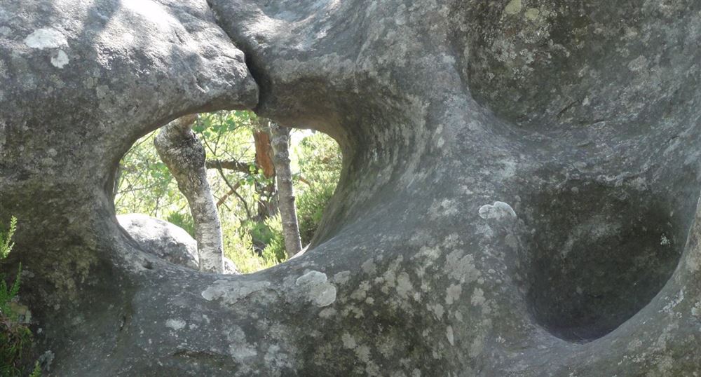
Passage between the rocks
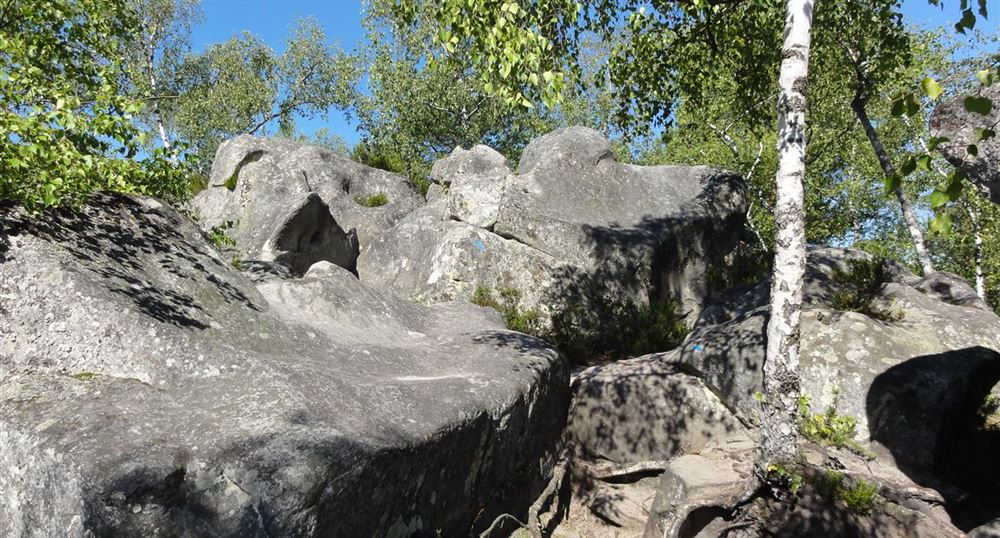
Viewpoint
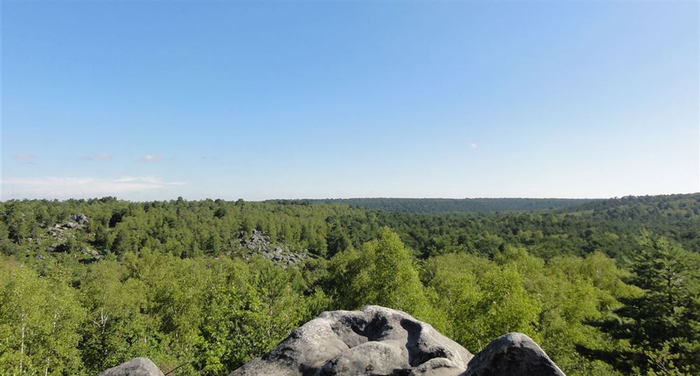
View of the course
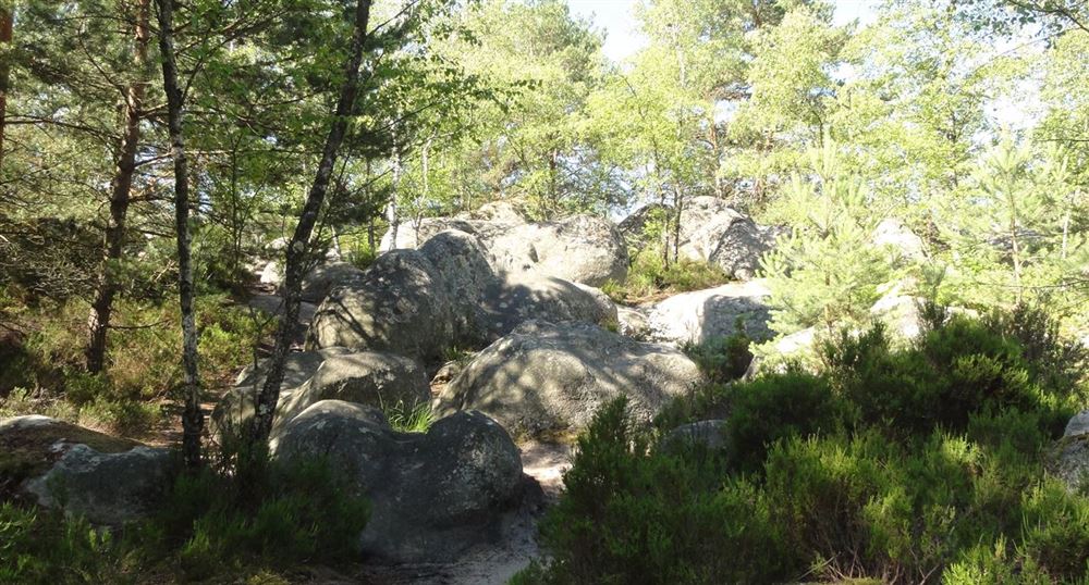
The pines
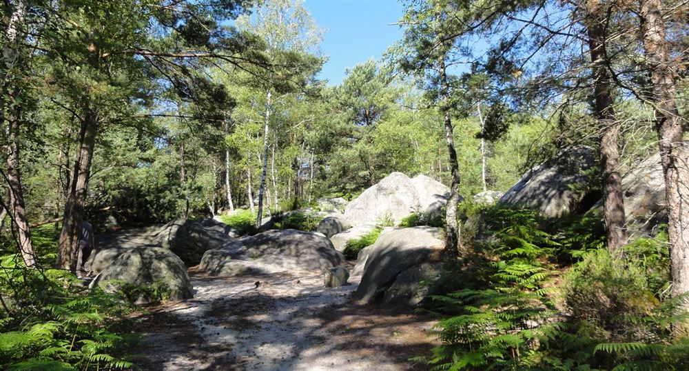
Passage between the rocks
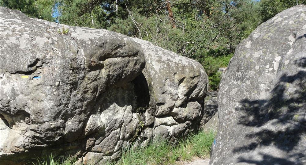
View of the course
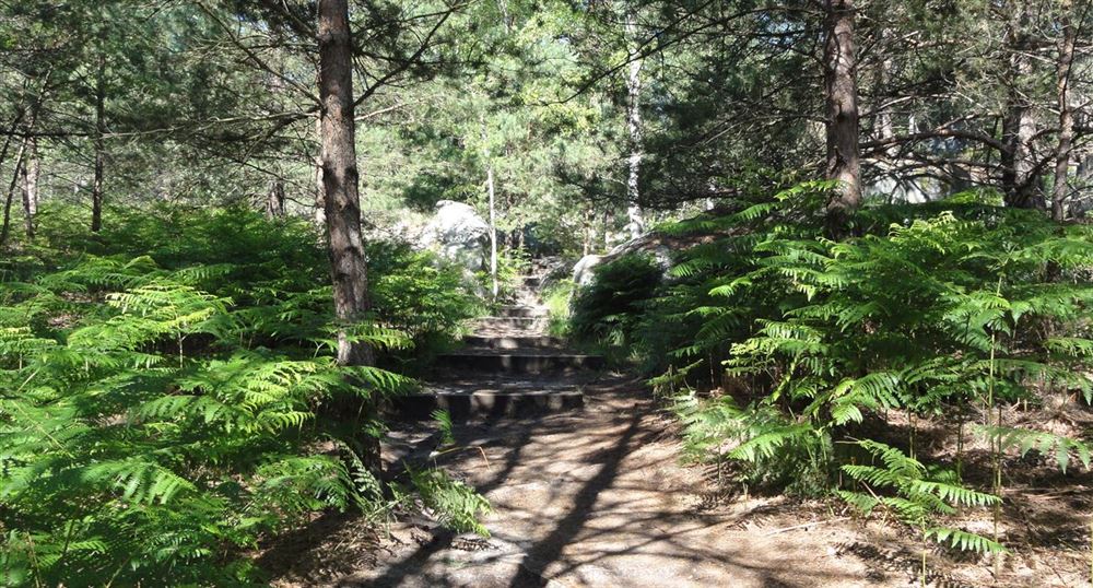
Back to the parking lot
